Thailand's First Seismic Contractor
Geophysical
Services
Wherever and whenever subsurface image matters
- We act Transparently
- We Dedicate ourselves to our projects
- We Respect others
Scroll
Wherever and whenever subsurface image matters
We do operate with our own equipment and experts
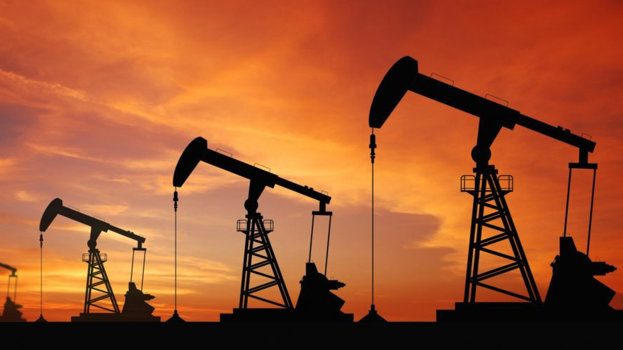
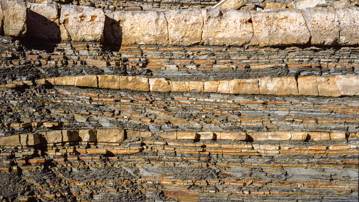
Proper Oil and Gas exploration requires accurate imaging in order to plan well drilling in an optimum location. Geneseis offer the proper equipment and years of experience and know-how to achieve those objectives. From project design, budgeting, operations, Geneseis covers the all spectrum of services needed for a successful seismic exploration. We use wireless acquisition systems and either or both explosives and vibroseis sources for imaging down to 6 km. We can operate 2D, 3D, 4D acquisitions, with various geometry designs, as well as micro-seismic and passive seismic for some specific projects.
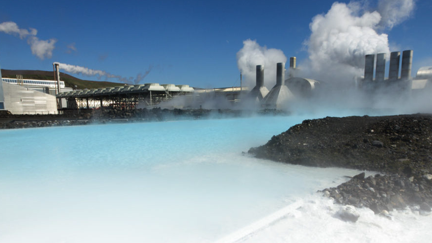
Geothermal is indeed a source of energy for the future. Seismic imaging will help at a better understanding of the underground structures, and definitely be a key parameter when it comes to assess the geothermal potential of a structure. It usually requires prior 2D exploration, and in some instances, complemented with fairly high-resolution 3D imaging, which Geneseis can deliver thanks to its high seismic channel capacity.
CCS is becoming of increasing importance. Geneseis can assist with locating and screening suitable CO2 subsurface storage sites through (1) reprocessing legacy seismic data, and (2) providing high density 4D time-lapse 3D seismic. The 4D seismic can be used in both Enhanced Oil Recovery (EOR) projects and to monitor the injected CO2 plume in CCS projects.
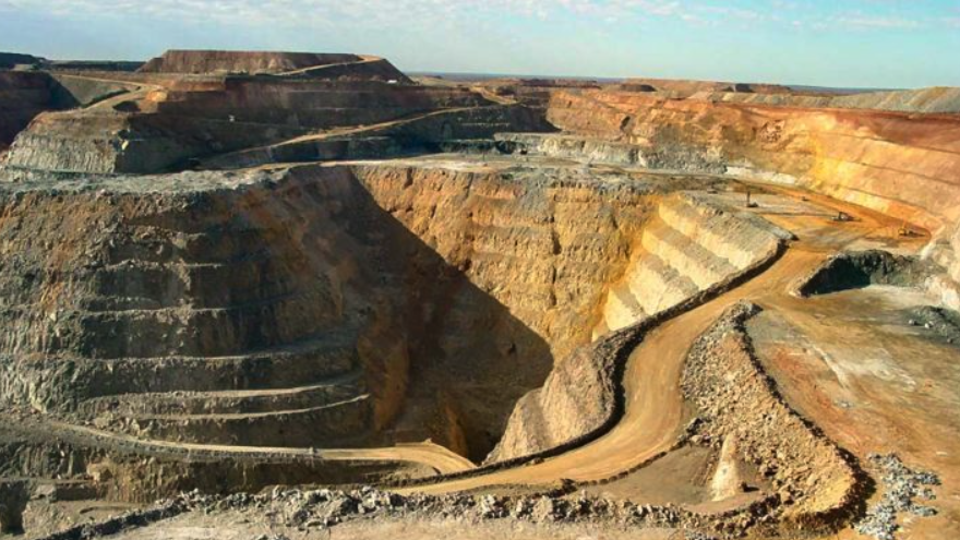
Whether for open pit or underground mining, seismic data will deliver a dataset that will cover all aspects of mining development (brown fields) or exploration (green fields). Apart from imaging seams (for example coal), it also delivers a structural image which will bring a better understanding of the potential geo-hazards involved in a mining projects (by accurately imaging the fault systems). Most of the time, seismic for mining require highly dense surveys in both the receiver and source domain, and therefore a very controlled way of managing seismic data from acquisition to processing.

Thanks to our expertise and experience, we can design a tailor made geometry for your project, based on geological data and/or vintage seismic data. Besides, our proposal of feasibility study, includes, as an option, environmental impacts, community impacts, and so on, as well as budget figures, operation plan and schedule. Our feasibility studies are very specific to a project with sound data and conclude with a set of options with their pros and cons, including budget and timing considerations.
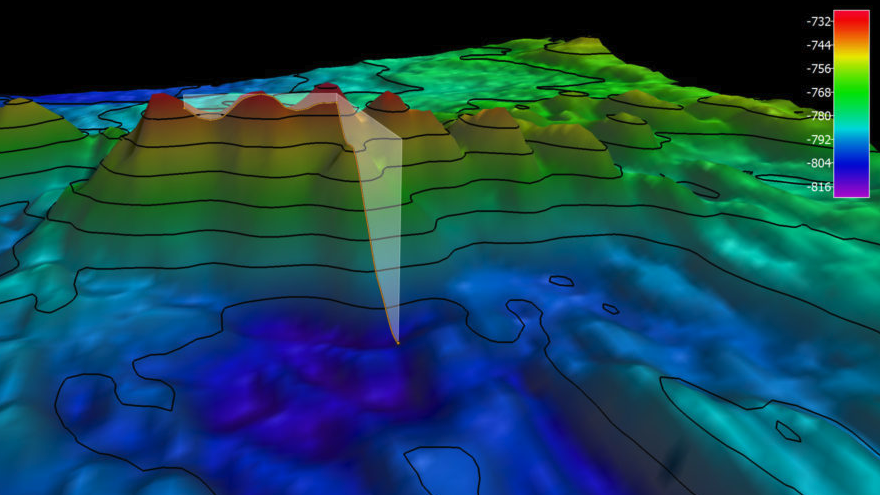
More than often, companies have access to vintage data which are no longer directly readable because of either obsolete format or media. We do carry some of those tape readers which will allow you to access to them again. They can then be copied on modern media (Hard Drive Disk for example) under an up to date format. Once done, we can re-process and re-interpret the data with the nowadays techniques, delivering a better image compare to what was previously done.
Expertise, experience, technology and innovation
Philippe has managed seismic projects from all aspects being implementation, technical, commercial, and contractual, and from all over the world including America, Africa, Europe, Middle-East and Asia-Pacific. Philippe is carrying more than 30 years of experience, and is now based in Thailand, as General Manager of Geneseis.
Khun Thawit carries more than 40 years of experience in seismic projects, mainly in Asia. Now in charge of all external affairs for Geneseis, Khun Thawit has developed a great network of relationship in SE Asia and is based in Thailand.

Chris has been processing seismic data for more than 30 years. He has been using tons of different software and has dealt with all sorts of data, being 2D, 3D, Microseismic, being onshore of offshore. His seismic data knowledge is coupled with geological knowledge, which makes him an unparalleled expert when it comes to understanding in depth the meaning of seismic data and what they image. Chris is based in Thailand.

Khun Paitoon started in seismic projects positioning system more than 30 years ago, and has developed an unprecedented knowledge of all techniques from conventional surveying to latest GPS and mapping techniques. Khun Paitoon is based in Thailand.

David has an expertise that goes back more than 30 years ago. He has interpreted data from pretty much all over the world, being onshore, offshore, 2D, 3D, and for all kind of purposes, from Oil & Gas, Mining, Civil works, Geothermal etc. David also carries extensive experience in Basin/Regional studies for potential investors in assets. David is based in Thailand.
From inception to becoming Thailand's first seismic contractor

CGG, French based leader in geophysics, decide to terminate their seismic data acquisition activities.
CGG Asia Pacific land seismic data acquisition team create GENESEIS, the first ever Thailand based seismic contractor.
Finalization of equipment purchase from CGG — GPS Surveying, shot-hole drilling, Vibroseis, Wireless receivers.
Integration of Promax © software for seismic data processing — Data transcription units under Guardian license (now CGG) — General Geophysics equipment (MT, Gravity, EM, Resistivity).
Fully operational for all geophysical services, from project design, implementation and execution to data processing.
Bringing years of experience — Giving opportunities to local talents and expertise through partnership with universities — Developing advanced methodologies in data acquisition and delivering best quality.
We operate in total transparency toward our customers and employees. We give the upmost importance to the environment in which we are working in all its aspects, being human and or natural. We strongly enforce best HSE behavior at all stage of our activities.
We do operate with our own equipment and experts
Geneseis carry some 11,000 Sercel RAU UNITE, with built-in batteries, GPS clock, and wifi connection. It ensure much smoother operations compared to any cable system, as there is no risk of line-cut. Each of the receivers are storing their data, and the overall acquisition data are then downloaded in our project office, where the standard SEG D file is delivered for further QC and pre-processing. UNITE have proven being extremely solid and reliable in all kind of terrain conditions (onshore).
Geneseis can operate both explosives and vibroseis sources.
1. Explosives source — Use of explosives source requires shot-hole drilling, for which we have a capacity of 30 TD40 portable machines on top of more than 80 water pump and accessories for watered, soft clay terrain conditions. The drilling depth capability is of 25m. We use Shot-pro BoomBox shooting boxes, equipped with high accuracy sync. Systems and "time-slot" capability ensuring there is no time overlap between records. In Thailand, we can order, store, and get proper permits by ourselves, thanks to our partner Thailand Resources. For other countries, please contact us.
2. Vibroseis source — Geneseis are using small (17,000 lbs) vibrators equipped with the Sercel VE 464 electronic and Trimble system GPS. Most of the time, surface terrain conditions in SE Asia do not allow the use of heavy vibrators (road and/or crop damages, narrowness of some accesses, weight limitations on bridges). Those vibrators can operate from 5Hz to 250Hz sweep of a maximum duration of 64s. With our partner Signal Miners, Geneseis have developed an unprecedented de-blending routine, allowing recording of seismic data simultaneously by several fleet, without limitation on the geometry design, neither on the separation between sources. Consequently, productivity is dramatically increased therefore significantly lowering the cost of the survey.
Geneseis operate Trimble R series, offering a centimeter level accuracy. We are using several methods for positioning, from standard local base station with radio link for corrections, to N-Trip systems and GSM broadcasted corrections, all depending on actual availability of the services in the area we are operating in. Where the GNSS method cannot be used (areas with vegetal cover, deep valleys...), seismic and geophysical points can be staked out and surveyed with Total stations: robotized LEICA TCA1203+, using proprietary software DATACARD®. Static Post-Processing and Network Adjustment using NovAtel GrafNav/GrafNet Software GPS data, Conventional Data are processed using GPSeismic, and mapping data using QGIS.
We are using ProMAX SeisSpace software for seismic data processing and QC. Our hardware includes HP Z840 desktop and HP Zbook 17 G3 mobile workstation. We have the capabilities to:
a. Preplanning 3D seismic surveys by creating offset fold maps, and creating synthetic shot records to simulate the likely recorded data.
b. Onsite field QC of the integrity of newly recorded seismic data including generating brute stacks as the data is being recorded.
c. Fast-track processing, to give a quick and reliable 3D migrated stack image of the recorded data.
d. Full PSTM processing once the whole survey has been recorded.
e. Reprocessing legacy 2D and 3D datasets.
Seismic data interpretation is the method of inferring the geology at some depth from the processed seismic record. The seismic record contains two basic elements for the interpreter to study. The first is the time of arrival of any reflection from a geological surface. The second is the shape of the reflection, which includes how strong the signal is, what frequencies it contains, and how the frequencies are distributed over the pulse.
The interpretation process can be subdivided into three interrelated categories: structural, stratigraphic, and lithological. Structural seismic interpretation is directed toward the creation of structural maps of the subsurface from the observed three-dimensional configuration of arrival times. Seismic stratigraphic interpretation relates the pattern of reflections observed to a model of cyclic episodes of deposition. Lithological interpretation is aimed at determining changes in lithology.
Proper interpretation of reflection data must include borehole and surface geological data. Currently our interpretation process uses both IHS' Kingdom and Down Under Geophysical Insight software platform.
Geneseis has the capability to handle the data of most formats and on most media from the 90's. We have already performed such task for numerous companies, involving hundreds of tapes of several type. This work is of absolute necessity when it comes to properly store seismic data, and beyond, being able to re-process them. Our system is on a workstation, so we can do the job in our premises, or in client premises (in case for example the tapes can't be exported due to local regulations).
Trusted by leading energy companies across the region


Have a project in mind? We'd love to hear from you
+662 245 6931
contact@geneseis-geo.com
RS Tower Building, 121/75, 24th Floor
Ratchadaphisek Road, Kwang Dindaeng
Khet Dindaeng, Bangkok 10400 Thailand